Balancing Act
Managing Limited Resources for Outdoor Recreation
Founded in 1858, the Illinois Natural History Survey (INHS), part of the Prairie Research Institute at the University of Illinois Urbana-Champaign, has been studying Illinois’ biological resources for more than 150 years. Its mission is to investigate the diversity, life histories, and ecology of the plants and animals of the state; to publish research results so those resources can be managed wisely; and to provide information to the public to foster an understanding and appreciation of our natural heritage. Seven INHS field stations around Illinois allow scientists to conduct place-based research.
Stephen Forbes, the “father of modern ecology” and the first INHS director—a position he held for almost four decades—famously researched the ecological dynamics of aquatic ecosystems, particularly freshwater lakes and rivers. His comprehensive studies on the natural history of Illinois waters, documented in reports and publications, laid the foundation for understanding the complex interactions between different organisms within these ecosystems. Forbes emphasized the importance of studying ecological communities as integrated systems, rather than focusing solely on individual species.
Following in Forbes’ steps, PRI has contributed to wildlife and habitat management, habitat restoration efforts, and programs for hunters and anglers across the state, from decades-long monitoring of sport fish and other species to restoring vital backwaters to educating new hunters. PRI provides vital information needed for sustainable outdoor recreation that preserves the land and sport species for generations to come.
One of Forbes’ most notable achievements was the establishment of the Forbes Biological Station—the first biological station in the United States—in Havana, Illinois, in 1894. This pioneering biological station became a hub for ecological research, attracting scientists and students from various disciplines.
The future of outdoor recreation in Illinois, an economically valuable industry, has PRI experts looking into questions about how to preserve and add to public lands to improve access to outdoor recreation for all Illinoisans, how to control invasive species and manage fisheries across jurisdictions, and how to use past and future data to continue to improve land management practices and adjust them for a changing climate.
“Hunting and fishing sales in Illinois is about a $2 billion industry annually just from the recreational sale of licenses and gear and more,” said James T. Lamer, large river ecologist and the director of the Illinois River Biological Station.
White-tailed deer. Photo by Susan Post, retired INHS biological control specialist.
Human dimensions: INHS research guides Illinois wildlife management amid public land constraints
INHS collects data and partners with the Illinois Department of Natural Resources to provide education to hunters and learn about their perspectives and activities. INHS data also give IDNR the information needed for evidence-based wildlife management decision-making, such as setting hunting dates and regulations.
Craig Miller is the principal research scientist for the INHS Human Dimensions Research Program. He collects data for IDNR on all animals harvested during hunting and trapping seasons, is the principal investigator for the Illinois Learn to Hunt Program, and has done studies on a variety of topics, including the use of public lands, non-consumptive recreation, urban wildlife, birders, and boaters.
Miller distinguishes between consumptive recreation—hunting and fishing—and non-consumptive recreation—hiking, birding, catch-and-release fishing, and more—both of which are sustainable with good information and management practices.
Looking ahead, a challenge facing outdoor recreation in Illinois is limited public lands, the majority of which are in Shawnee National Forest in the southern part of the state. Illinois loses outdoor recreation dollars and hunters to surrounding states.
“One of the biggest challenges in Illinois is we have a real paucity of public lands,” Miller said. “We are very, very poor in public lands compared to other states. We need to work on managing public lands in a sustainable fashion, as we have intense competition for resource allocation of these public lands.”
A small stretch of public land, for example, will accommodate hunting, birding, equestrian use, mountain biking, and hiking, he said, adding that as the population increases, so does the demand for public lands and the outdoor recreation opportunities they offer. Focusing high recreation demands on small areas creates “crowding, conflict, overuse, soil compaction, erosion—a whole host of issues,” Miller explained.
INHS scientists help shed light on the pressures being put on public lands for managers and policymakers. By monitoring key native species and invasive species, and by studying the effects of surrounding industrial and agricultural use, this information can help preserve these lands for future nature-based recreational enjoyment.
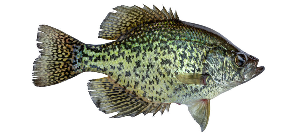
Largemouth bass. Image by INHS staff.
Reeling insights: INHS pioneers long-term fish monitoring for better fisheries management
INHS has been monitoring fish in Illinois rivers since the 1950s through long-term research programs. In addition to these, INHS conducts direct research to help inform decisions on fisheries management and regulations, the goal of which, Lamer said, is “not only for the betterment of the fish but also the people who are fishing for them.”
Consistent, long-term data collection allows scientists, fisheries managers, and policymakers to compare trends across time and geography to detect changes in fish populations and evaluate management practices.
Ongoing projects will rely on several decades of historic INHS fish data, Lamer said. One project is building master growth chronologies using fish aging structures, which can reveal how environmental factors and major regulations, like the Clean Water Act, affected the growth and success of those fish in their lifetimes. The data will ultimately help scientists refine their recommendations for how to manage these fish in the future and predict future growth response to changing environmental factors and climate change.
INHS data have been important as scientists work with IDNR to develop recommendations to create a system for inter-jurisdictional river fisheries management, something Lamer said Illinois is leading the charge on. Because rivers often intersect or run parallel with state borders, and fish populations move across and are not restricted by those boundaries, the management of river fisheries can be challenging and requires spatially explicit population models that transcend individual state regulations, he explained.
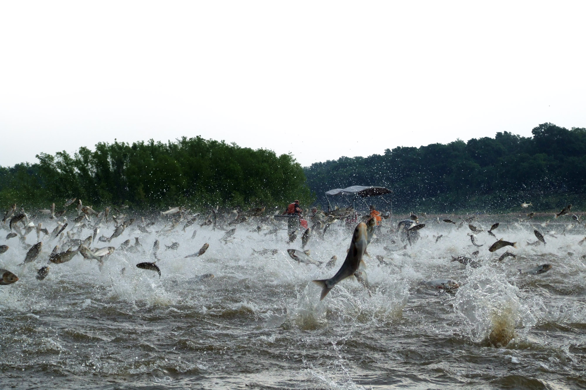
Silver carp jumping on the Illinois River. Photo by Nerissa McClelland.
INHS is also leading the way as scientists address one of the biggest challenges facing Illinois waterways in recent years: invasive carp.
“Invasive carp are problematic because they have been shown to reduce the body condition and abundance of native fish that are important to recreational fishermen and native food webs, and because they cause problems for recreational boaters,” Lamer said. “Limiting their numbers is important for us and finding ways to work with IDNR and our federal partners to do that efficiently and effectively is important to us, as well.”
One strategy INHS is testing is a technology that has been used in the Pacific Northwest to assist salmon and other native migratory fish to selectively pass dams. INHS is currently identifying the conditions necessary for invasive carp to ascend this fish ladder, which will be followed by backend AI applications to selectively pass native fishes and autonomously remove invasive species.
INHS scientists have been on the frontlines and played key roles in managing invasive carp. In addition to the silver carp, bighead carp and grass carp that have been present in Illinois waterways for several decades, INHS is now on the leading edge of black carp surveillance and research to help identify management strategies to reduce this recent invader’s impact before it reaches high densities.
“The research produced from our field station identified the negative impact invasive carp are having on native sport fish species and species that are important for our aquatic food webs,” Lamer said. “And it has come full circle: from detection and evaluating the effect they’re having on our native fish communities to now helping to find ways to manage and control them.”
Forbes Biological Station plane conducting aerial waterfowl surveys.
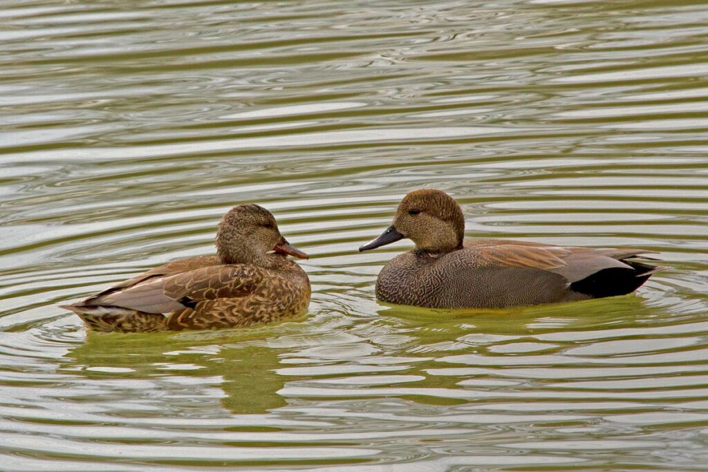
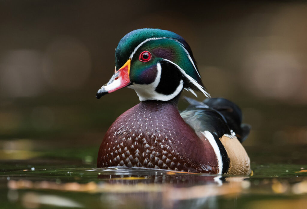
View from above: Examining the impact of wetland management on Illinois waterfowl
The Frank C. Bellrose Waterfowl Research Center at Forbes Biological Station is named for the renowned INHS ornithologist and waterfowl biologist, known for his significant contributions to the field of waterfowl research, particularly in Illinois. His research in Illinois had a profound impact on the understanding of waterfowl populations and their habitats. One of his major accomplishments was the development of the “lake-to-lake” aerial survey method, which revolutionized the estimation of waterfowl populations by providing more accurate and reliable data.
In addition to his groundbreaking survey methods, Bellrose conducted extensive studies on waterfowl diseases, particularly botulism and lead poisoning, which posed significant threats to waterfowl populations. His research helped identify the causes and transmission pathways of these diseases, contributing to conservation efforts aimed at mitigating their impact.
Bellrose played a pivotal role in advancing the understanding of waterfowl ecology, behavior, and conservation. He actively engaged in public outreach and education, advocating for the protection of wetlands and the importance of preserving natural habitats for waterfowl. His efforts were instrumental in raising awareness about the challenges facing waterfowl populations and garnering support for conservation initiatives.
During hunting seasons, waterfowl abundance estimates—thanks to Forbes Biological Station aerial inventories of more than 214 miles of the Illinois River and 272 miles of the central Mississippi River—are popular for hunters.
But INHS scientists are interested in all the data that lead up to those numbers of healthy ducks and geese in the fall. Their work studies wetland management and helps IDNR set hunting dates and zones, inform hunters of peak migration windows, and evaluate management practices at state-managed waterfowl areas.
Fournier said some of their research led to workshops—working with IDNR, US Fish and Wildlife Service, and other partners—to translate their work into actionable practices for people on the ground, managing these habitats.
The wetlands that serve as a habitat for the migrating birds that hunters enjoy are also delicate, vital ecosystems for many other species, including humans. Wetlands play an important role in floods and cleaning water, in addition to offering recreational opportunities.
Managing wetlands is a process that has complicated tradeoffs. Because there are tradeoffs—a management action that is good for ducks might not be good for fish or another part of the ecosystem—Fournier noted it’s important to have good science available for those who are making decisions for wetlands, an ecosystem that has been severely diminished in Illinois. According to IDNR, Illinois has lost nearly 90% of its wetlands since 1818—mostly to agricultural and urban use.
Fournier said the research is beginning to take a more holistic approach to wetland management to create the best possible habitat for the birds year-round. Whereas, in the past, management practices focused on the hunting season, new INHS research is studying other parts of the annual cycle. Researchers are asking, for example, how to ensure the ducks’ energy needs are being met in the spring so they will be thriving during the hunting season in the fall.
One challenge INHS scientists want to better understand is how to manage wetlands to be resilient to climate change, Fournier said. This will involve looking at how climate change might affect the Illinois River system and whether to adjust management practices so wetlands continue to be a healthy ecosystem for humans and animals, including the waterfowl and migrating birds enjoyed by hunters and birdwatchers.
Tools you can use
The IDNR Division of Fisheries I Fish Illinois website offers all the information anglers need to prepare for and enjoy a successful fishing season: learn about places to fish, fishing with the family, fishing programs, licensing regulations, fish stocking, and more. INHS manages information on the site.
INHS data contribute to the Graphical Fisheries Database Browser, which provides thousands of graphical and tabular data summaries of fish community observations that can help anglers figure out how a favored species is doing in an area before planning a recreational fishing trip. Data taken for fish species include species identification, length, weight, and any abnormalities or deformities. The database also includes data from field stations in Minnesota, Wisconsin, Iowa, and Missouri, and is part of the Upper Mississippi River Restoration Long-Term Monitoring element, a program led by the Army Corps of Engineers and U.S. Geological Survey.
Waterfowl abundance estimates are in high demand from September to early January as hunters determine the best locations for their sport. In the fall and winter, these INHS data are posted online every week and weekly posts are added to the Forbes Biological Station Facebook page.
The Illinois Learn to Hunt program offers free education to teach adult participants how to hunt deer, turkey, pheasants, ducks, geese, squirrels, and other game. Illinois Learn to Hunt can also be found on Facebook, Instagram, and YouTube.
Scientists in the INHS Human Dimensions Research Program conduct surveys to learn about hunters’ and trappers’ activities in the field, attitudes toward management activities, and support for proposed regulatory changes. These reports and the results of annual harvest surveys on upland game species, snow goose and waterfowl, as well as fur-bearer trapping, can be found on the program’s website.
The interactive Illinois Tick Surveillance map uses INHS and Illinois Department of Public Health data to show locations where ticks of medical and veterinary concern have been found, as well as the disease agents detected in these ticks—such as the pathogen that causes Lyme Disease. The 30-minute webinar Ticks and Tick-Borne Disease Agents in Illinois provides a primer on tick bite prevention and offers instructions on how to use the maps. INHS also works closely with the Illinois Department of Public Health to monitor mosquitoes.
Northern pintail. Photo by Michael Jeffords, retired INHS entomologist, and Susan Post, retired INHS biological control specialist.
Further reading
- An effect of the ban on lead ammunition on ducks and geese in Illinois.
- Research on attitudes about wolf management in Illinois.
- The evolution of hunters’ beliefs about chronic wasting disease in deer.
- The recovery of the Illinois Waterway following the implementation of the Clean Water Act.
- Ongoing research on the movement of fish species and the use of technology and dams as barriers to control invasive species.
- The effectiveness of a type of management practice known as wildlife harassment.
- How waterfowl react to aerial surveying.
- Research into methods for conservation planning and management that examines uncertainty and decision making.