Kick-starting Conservation
Detecting Rare Species Across a Dynamic Landscape
Illinois’ landscape, once made up mostly of prairie, forest, and wetland habitats, is now a tapestry of natural, agricultural, and urban areas interwoven with transportation routes. These landscape changes have presented challenges to Illinois’ native plants and animals, putting some at risk of decline or decimation within the state.
The Illinois Natural History Survey (INHS), part of the Prairie Research Institute at the University of Illinois Urbana-Champaign, brings together numerous scientists, staff, and students to study Illinois’ most at-risk species, particularly those now listed as threatened or endangered at the state or federal level.
This story kicks off a series that aims to highlight some recent information and insights that INHS has contributed to the conservation community.
Conservation often begins with understanding where species are on the landscape.
Here we describe a small fraction of the INHS programs and projects that scour the state for signs of threatened and endangered species. Discovering where these species have persisted is the first step toward protecting and managing their remaining populations.
Hine’s Emerald Dragonfly. Image by Paul Burton, USFWS, National Digital Library.
Surveying to save species and support transportation
Illinois is home to extensive transportation routes, including 2,185 miles of interstate and 15,969 miles of state highways that span the state and a 294-mile Tollway system across 12 northern Illinois counties. The sheer volume makes it likely that current and future routes will intersect areas inhabited by imperiled species.
The Illinois Department of Transportation (IDOT) and Illinois State Toll Highway System (Tollway) rely on INHS scientists to identify and survey the plants and animals along their respective transportation routes to determine whether state and federally listed species occur there. With this information in hand, IDOT and Tollway can adjust their construction and maintenance plans to comply with the Endangered Species Act and avoid costly delays that could arise if previously unidentified protected species were encountered during project implementation.
IDOT and Tollway are not the only agencies to benefit from this partnership.
When INHS scientists detect a protected plant or animal along transportation corridors—or anywhere in Illinois—they also update the Illinois Department of Natural Resources’ (IDNR) Natural Heritage (Biotics 4) Database, which contains occurrence information for all of Illinois’ threatened and endangered species. Collecting current data helps protect those species from development now and into the future.
The INHS Biological Surveys and Assessment Program (BSAP), which works with IDOT, has completed nearly 3,000 projects over the past 40 years, contributing more than 10,000 occurrence records to the Natural Heritage (Biotics 4) Database. Since partnering with the Tollway in 2005, the INHS Urban Biotic Assessment Program (UBAP) has added or verified over 750 occurrence records and added thousands of individual points from their long-term studies.
These contributions help keep the Natural Heritage (Biotics 4) Database up-to-date and thus maintain its utility in determining species’ listing statuses and guiding conservation efforts.
Many listed species have county- or township-level distribution data available, but to plan for a project effectively, IDOT and Tollway need to know the exact locations of any listed species that might be impacted during their work.
“The locations we give are very specific; they’re actually georeferenced down to within a couple of meters, so they know precisely where those threatened and endangered species are,” said Schelsky.
From a conservation perspective, the exact locations and population size estimates BSAP and UBAP scientists gather on listed species help determine future research needs and contribute to decisions about the need for protection through the Illinois Endangered Species Protection Act.
“We can document declines as they’re happening, or at least in more real-time than might be detected otherwise, and so it might draw attention to a particular species that [IDNR] needs more information on,” said Schelsky.
Both BSAP and UBAP scientists often play a role in conducting more in-depth studies on particular species and sites.
“We have 17 full-time biologists on the [IDOT] contract, some of which are probably the state expert, if not somewhat a regional expert in their own area of specialty,” said Schelsky. “They have incredibly broad reach in terms of what they do, not just for IDOT but also outside of that. So many of them are doing research projects for IDNR or other nonprofits, counties, or various other entities.”
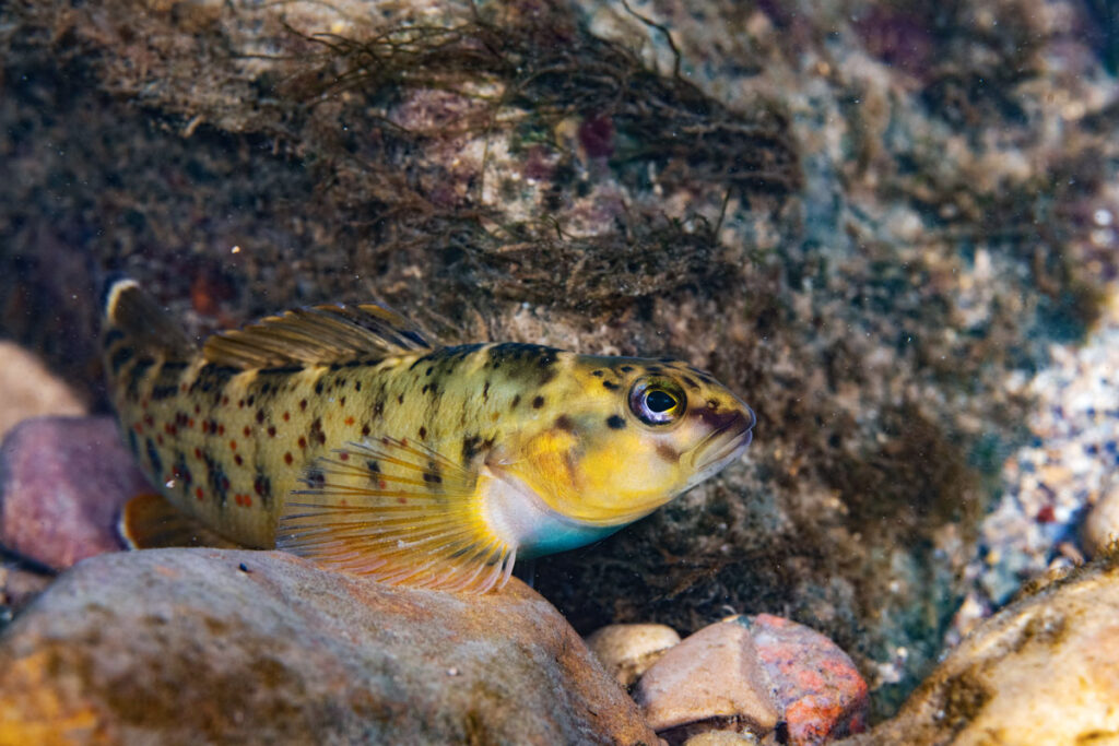
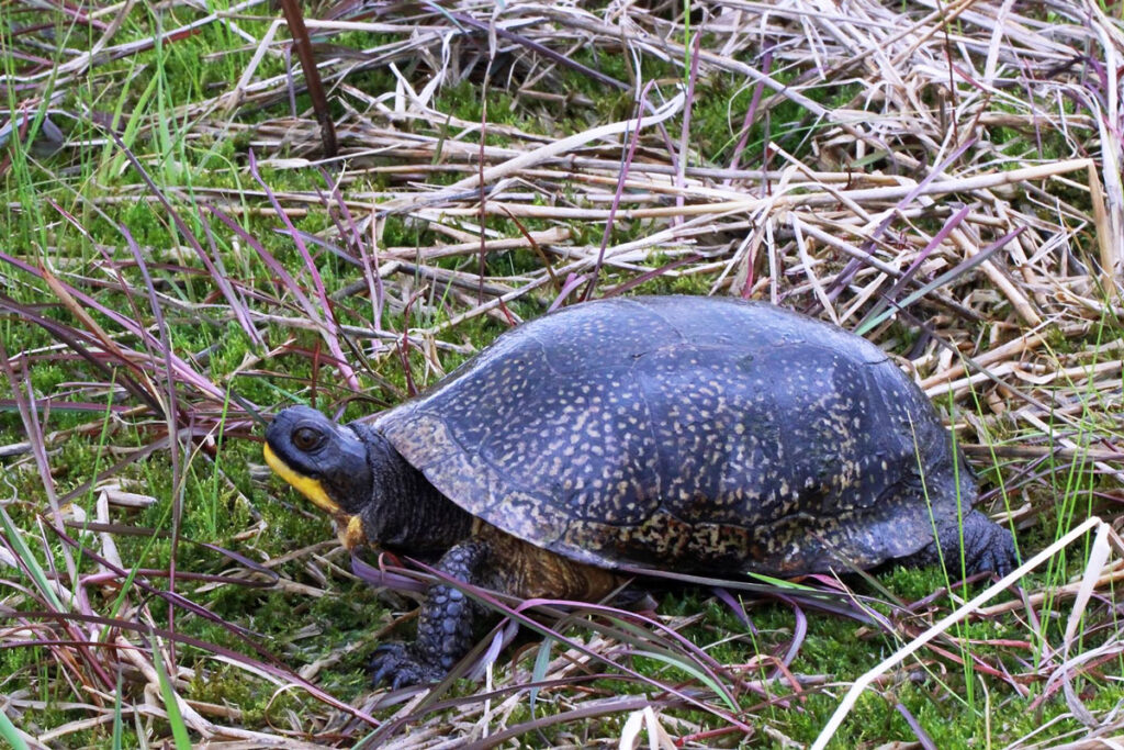
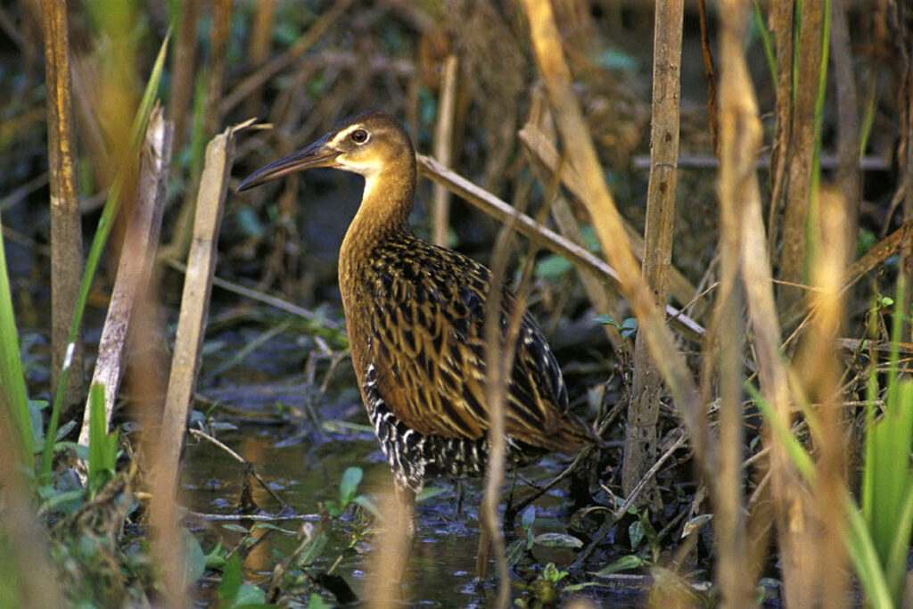
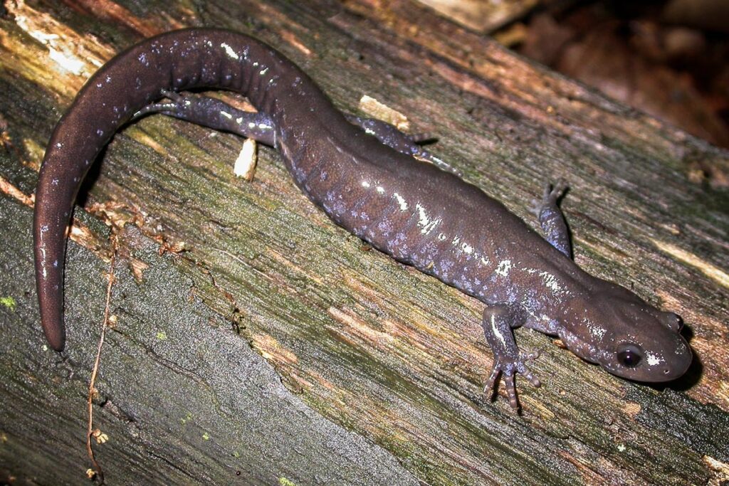
Several of the many listed species INHS scientists have researched include Franklin’s ground squirrel, king rail, redspotted sunfish, bluebreast darter, Blanding’s turtle, silvery salamander, salamander mussel, northern riffleshell, and Hine’s emerald dragonfly.
UBAP scientists are also trying to set up long-term monitoring along Tollway routes to track species and habitat trends over time.
“Along with the endangered and threatened species updates, our goal is to have reference sites consisting of natural areas within Tollway corridors that we continually monitor over a periodic cycle to assess species assemblage changes,” explained Michael Dreslik, an INHS population ecologist who leads the Population and Community Ecology (PaCE) Lab, which houses UBAP. “We have a ‘rule of five’—five reference sites within each Tollway corridor that we will assess every five years.”
Ultimately, the constellation of work that BSAP and UBAP scientists conduct, whether gathering occurrence information, doing in-depth research, or collecting long-term data, protects Illinois’ most at-risk species and contributes to the continued upkeep of Illinois’ transportation network.
Illinois state endangered Rafinesque’s big-eared bat (Corynorhinus rafinesquii). Image by Gary Peeples, USFWS.
Leveraging long-term bat data to track trends through time
Illinois bat populations have drastically declined in the past couple of decades as their habitat disappeared or degraded and White-Nose Syndrome, a fungal disease, swept across the state. Now, 6 of Illinois’ 13 bat species are listed as either threatened or endangered.
INHS’s Illinois Bat Conservation Program (IBCP), led by Tara Hohoff, conducts research and statewide monitoring of bat species to inform their conservation and management. Not only does this work benefit the bats themselves, but also all Illinoisans.
“Bats are important to our ecosystem,” said Hohoff. “They eat mosquitoes—which we love—but also, perhaps more importantly, some species eat agricultural pests. That is really important for people in the Midwest especially.”
IBCP data are being used in a number of different ways.
Data on species’ distribution and abundance can help guide bat listing decisions at the state and federal level. For instance, IBCP’s low capture rates for two bat species—the northern long-eared bat (state and federally threatened) and little brown bat (not currently listed)—along with data from across the country may result in an “upgrade” in their protection status.
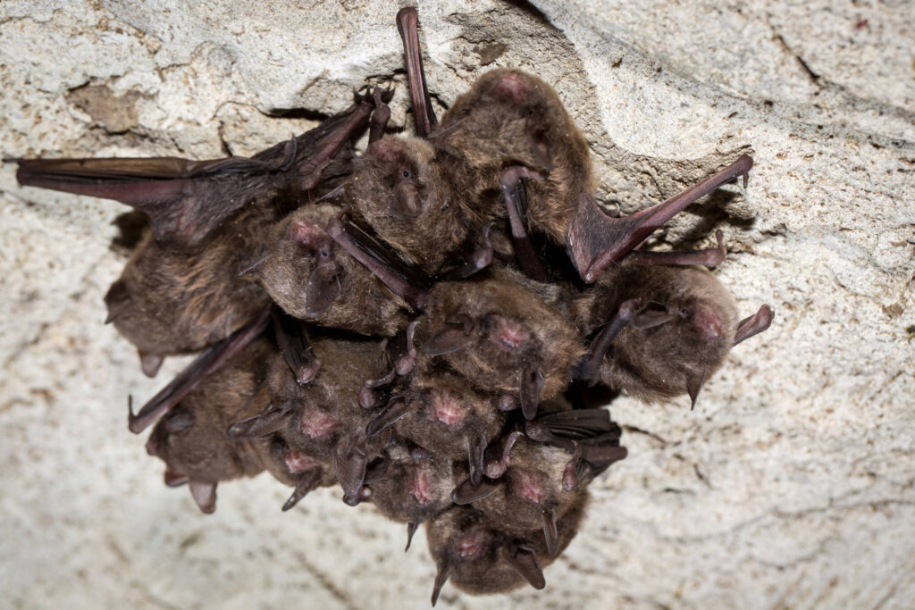
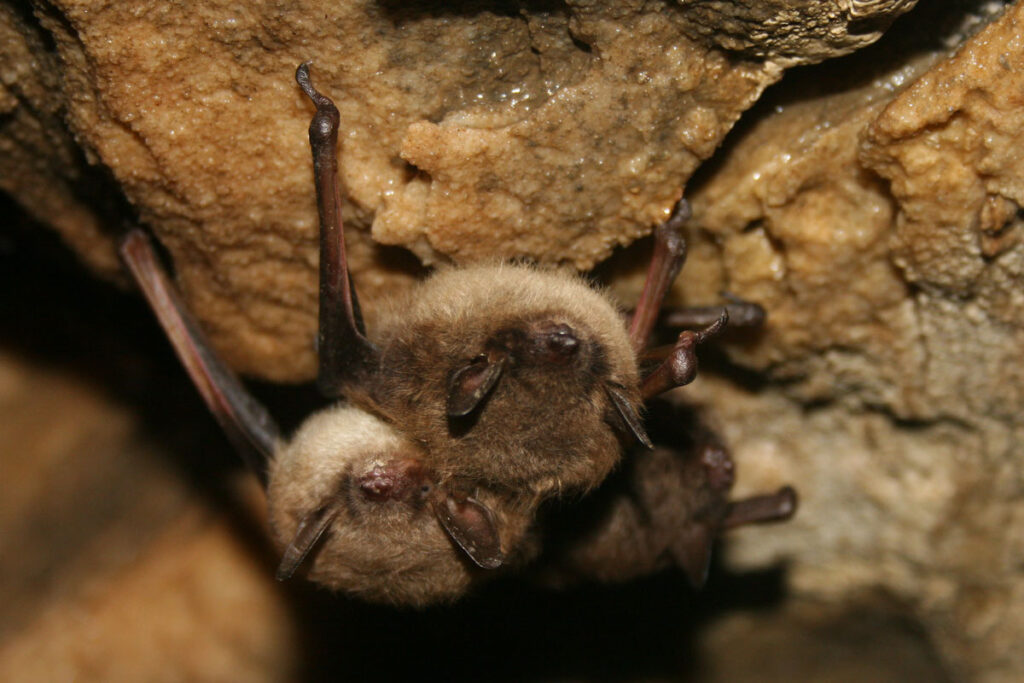
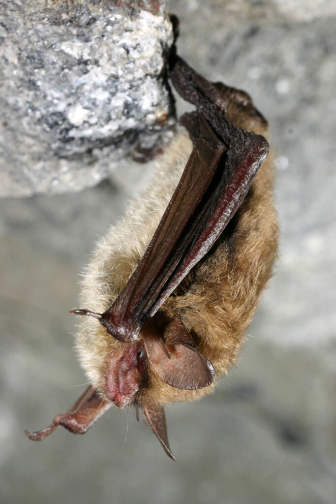
IBCP is also filling a need for long-term, statewide information on how all bats are faring in the face of new challenges, such as diseases or landscape-level changes.
“White-Nose Syndrome has had a major impact on our hibernating species of bats,” Hohoff said. “The unfortunate part is that we don’t have statewide data from before White-Nose Syndrome to compare it to, so we mostly have to rely on cave counts and the limited capture data that we do have to make assumptions about population changes.”
Established in 2016, IBCP is now amassing vital, long-term data that can be used to assess future challenges.
IBCP data on bats also spans habitats, which is particularly important in a state like Illinois—a complicated mosaic of natural, urban, and agricultural areas.
“Statewide surveys are important because we get a better understanding of how bats are using habitat across the landscape, not just in forest preserves,” said Hohoff. “It is critical for our understanding of bat species distributions to also survey in cities, agricultural fields, residential backyards, and everything in between.”
Federally endangered Indiana bat. Image by Ryan Hagerty, USFWS.
Many agencies and organizations are starting to develop and use habitat suitability models (HSMs) to identify critical habitat for imperiled species and prioritize areas for management efforts.
In a 2021 study published in Landscape Ecology, IBCP researchers and colleagues drew on three decades of data to create an HSM for the federally endangered Indiana bat. Though other HSMs had been created for this species, these models focused on small areas with little habitat variation. The new HSM took into account Illinois’ large, heterogeneous landscape, the different types of habitats Indiana bats need for roosting and foraging for food, and the connectivity of these habitats, as the species needs passable corridors between the sites it uses.
Ultimately, the team’s HSM revealed that the Indiana bat prefers lower-elevation landscapes near water bodies that have more forest cover and limited agriculture and urban development.
HSMs like the Indiana bat’s can be very useful for conservation planning; however, caution must be exercised as HSMs can reflect biases inherent to the data they are based on.
Bat occurrence data used in HSMs can be collected in a variety of ways, including catch-and-release mist netting surveys, acoustic recordings of high-frequency bat calls, and wind turbine mortalities.
In a 2023 study, IBCP researchers used these data types individually and in tandem to create HSMs for three Illinois bat species and found striking differences in the land the HSMs deemed as suitable habitat.
Given these findings, IBCP researchers urge organizations and agencies to always carefully consider HSMs’ underlying data types when using them to craft management strategies.
Osprey. Photo by Jacob W. Frank, National Park Service.
Community science meets bird conservation: leading large-scale, long-term volunteer programs to monitor Illinois birds
Each year over 1,500 volunteers fan out across Illinois recording all the birds they see and hear for an annual, statewide census—the Spring Bird Count (SBC). With 52 years of data to date, SBC allows us to better understand where birds are in Illinois and track trends in their populations over time.
An IDNR ornithologist, Vernon Kleen, coordinated Illinois’ first SBC in 1972, bringing over 650 people together to survey birds in 62 counties. He continued to lead and grow the SBC for nearly 35 years before transitioning coordination of the count to INHS scientists Tara Beveroth and Mike Ward.
SBC is always held on the Saturday that falls on May 4–10. With 102 Illinois counties to survey on one day, volunteers are vital.
“I organize 102 county compilers and each compiler recruits and arranges volunteers for that specific county,” Beveroth said. “It’s a huge thing. People really look forward to it every year; I look forward to it every year. It’s fun.”
SBC data are particularly valuable for identifying species of conservation concern and future candidates for state and federal listing, as the long-term dataset spans the state and its varied habitat types.
In a 2022 article published in the Illinois Audubon Magazine, SBC scientists reported on general trends observed in Illinois bird species over the first 50 years of the count. Unfortunately, SBC data show population declines of 50 percent or more for 35 bird species within Illinois. Of these 35 species, nine are currently listed as endangered and two as threatened in the state.
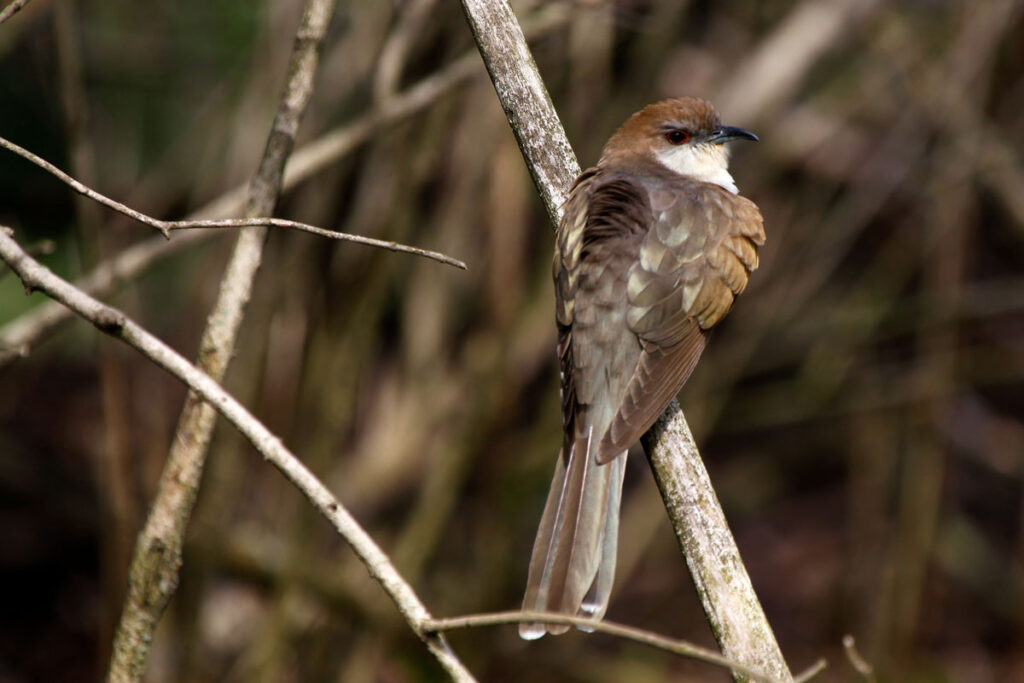
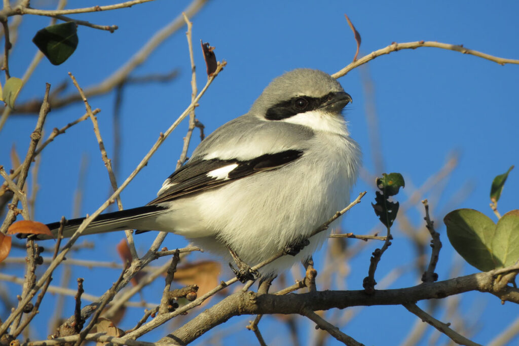
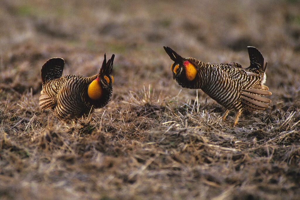
However, there are some environmental policy and land management success stories playing out in SBC data.
“With the banning of DDT and similar pesticides, along with the Clean Water Act in 1972, we’ve seen large rebounds in many raptor species,” Beveroth said.
One of these raptors, the osprey, exhibited a 410.8% population increase over the past 50 years. Though the osprey is currently listed as state threatened, Beveroth is currently working on a petition to have the species delisted based on these SBC data.
Another good example is the Henslow’s sparrow, which exhibited a 1,000+% population increase over the 50-year timeframe. Formerly state threatened, the Henslow’s sparrow was delisted in 2010 and likely owes its rebounding population to an increase in Conservation Reserve Program (CRP) grasslands.
Though the SBC collects data on all Illinois birds, it primarily benefits species that are active during the day.
Beveroth and Ward, recognizing the need for better data on nocturnal species’ distributions, created the Illinois-based Monitoring of Owls and Nightjars (MOON) program in 2008.
Of the five species of owl and three nightjar species that have been confirmed to breed in Illinois, two are currently state listed—the Short-eared Owl (endangered) and a nightjar called the Chuck-will’s-widow (threatened).
Like SBC, MOON relies on a network of dedicated volunteers and is actively looking to recruit more.
Anywhere from late April to mid-June, MOON volunteers make 10 designated stops along their 9-mile routes, recording all species they hear. Located across Illinois, these routes are strategically placed along forest edges where owls and nightjars are more likely to be found.
A 2022 report summarized some of MOON’s findings over the program’s first 15 years.
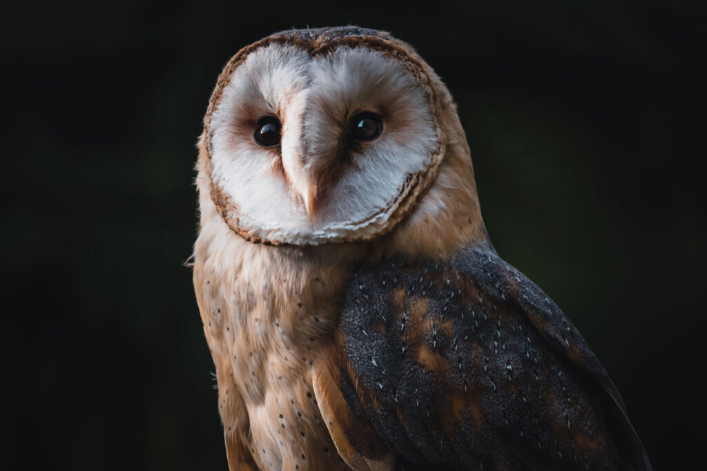
Most of Illinois’s resident owls are considered common across their respective ranges according to the MOON report; however, MOON data suggest that eastern screech owls may be experiencing population declines. Barn owl detections, though still rare, are increasing in MOON surveys. The barn owl, which was formerly a state-threatened species in Illinois, was delisted in 2020.
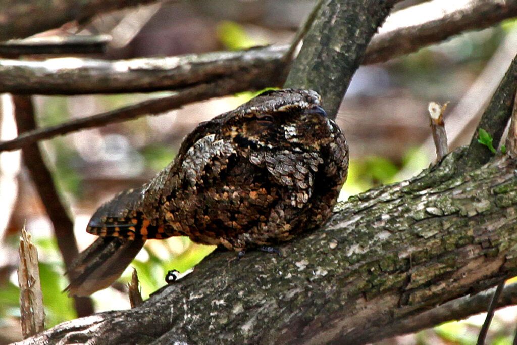
Overall, the news is not good for nightjars.
“Nightjars in general are declining across their range,” said Beveroth. “We don’t see nightjars, especially the [eastern] whip-poor-wills, in Illinois where we used to. If you look at where they were historically in the state, they’re no longer detected in most of those areas.”
However, MOON surveys are helping to identify the locations and habitats where nightjars currently are in Illinois so that conservation efforts can focus on protecting those critical areas.
According to Beveroth, both SBC and MOON data often serve as springboards for research into what is driving bird species’ distributions in the state—research that could further inform the management and protection of Illinois’ imperiled birds.
INHS scientists collecting water samples for eDNA analysis at Fort Polk, Louisiana.
Testing new techniques: using environmental DNA to detect the presence of pollinators and other imperiled species
Surveying environmental DNA (eDNA), the trace DNA that organisms leave behind in their environments, is becoming a popular way to quickly detect whether a species is present in an area. The INHS Collaborative Conservation Genomics Lab (CCGL), led by Mark Davis, is at the forefront of testing eDNA surveys’ effectiveness with novel and imperiled species in an array of environments.
“We’re using [eDNA] in a number of different contexts—aquatic, terrestrial, and even in the air,” Davis said. “If you can get your hands on a sample of some sort, you could probably get DNA off of it, and so really you’re only limited by your creativity.”
Davis considers eDNA and conventional sampling to be complementary tools.
eDNA detection methods may prove particularly useful for finding at-risk species, Davis says.
“The challenge we seem to often have with threatened and endangered species is that they are numerically rare, they are patchily distributed across the landscape, and they are really hard to find with conventional methods,” Davis explained.
One such species is the Hay’s spring amphipod.
Tiny, spineless, and federally endangered, the Hay’s spring amphipod is only found in underground seepage springs in Washington, D.C. So when INHS scientists were called upon to provide distribution information for this cryptic creature, they had to think outside the box.
“We thought we’d try eDNA, and sure enough it worked. Not only did we identify [the Hay’s spring amphipod] in historic places where the U.S. Fish and Wildlife Service was pretty sure that it occurred, we also found it at other springs,” Davis said. “[USFWS] can now use that information to target conventional sampling and to better inform management decisions for the species.”
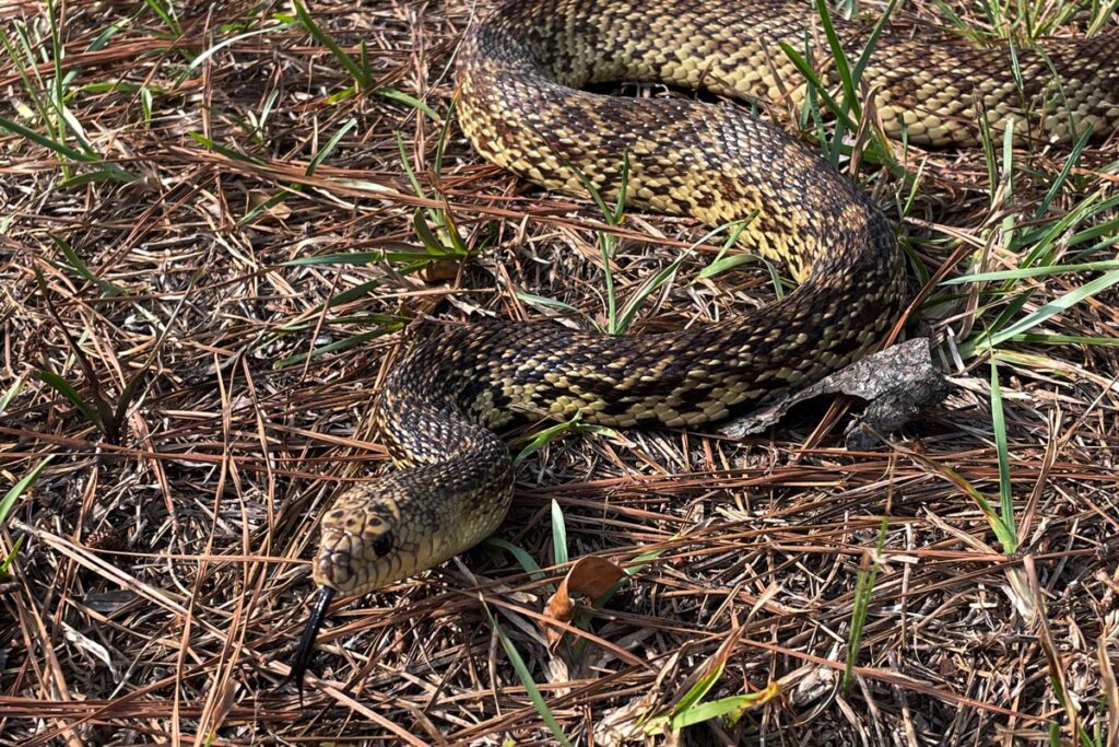
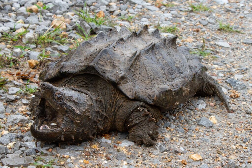
Davis and his colleagues’ work on the Hay’s spring amphipod served as the springboard for many other eDNA projects. For instance, Davis worked with a research team that assessed the feasibility of using eDNA to determine the status and distribution of multiple at-risk species at Fort Polk in Louisiana, including the federally threatened Louisiana pinesnake.
Drawing on these successes, Davis, together with INHS plant ecologist Brenda Molano-Flores and colleagues, turned his attention toward documenting pollinator communities using eDNA.
With pollinator populations declining around the globe at a rapid rate, it has perhaps never been more important to speed up surveys and research efforts that inform their protection and management. Unfortunately, performing traditional pollinator observation studies can be expensive and time-consuming. Lack of pollinator and arthropod identification expertise can also be a problem.
“Oftentimes, particularly as we think about things like pollinators and arthropods, you also have to have that level of taxonomic expertise to key these things out. And with DNA, you don’t need that,” said Davis. “If the requisite data are available, you can tell what’s out there based on their genetic signature.”
In a 2022 study published in Environmental DNA, an INHS-led research team successfully demonstrated that pollinators could be identified from the eDNA they left behind on flower heads, both in a controlled greenhouse and natural field setting. Further, a follow-up study by INHS scientists and colleagues published in 2023 found that eDNA surveys could outperform conventional camera trapping surveys, where flowers are filmed so that their pollinator visitors can be documented.
“[eDNA] is telling us more than we thought we could get out of it. Not only are we detecting pollinator species, but we are also detecting plant pests. We detected butterfly larvae on their host plants. We detected predators and their prey on the same plants,” Davis explained. “We’re getting communities and interactions on single flowers and single plants.”
Davis and the CEGL lab plan to continue expanding their portfolio of eDNA-pollinator research.
“The pollinator work was where we started to develop the methodologies, the technologies, but also to ask really interesting ecological questions,” Davis said. “I’m very excited about the next five years with that work.”